What You See Is What You Measure: M360 LiDAR Helps Industrial Scanning with High Precision
Three-dimensional laser scanning technology, also known as "reality copying technology." This technology can quickly and accurately obtain three-dimensional coordinate data of the object's surface, presenting it in the form of visual point clouds. It has the characteristics of high efficiency, high precision, and high completeness.
With technological advancement, three-dimensional scanning technology products are becoming more abundant and their application scope continues to expand. A well-known domestic industrial scanning system is a typical example. It is equipped with Tantu's M360 3D LiDAR, providing precise 3D modeling solutions for efficient surveying and mapping work in industrial scenarios.
Efficient Acquisition of High-Precision Data
The industrial scanning system adopts an integrated compact design, integrating multiple modules such as M360 LiDAR, visible light camera, and RTK. It can quickly process massive point cloud and visible light image data. In on-site operations, after technicians complete scanning, they can preview scanning results in real time to ensure data integrity and avoid rework.
Different from conventional horizontal or vertical deployment methods, the M360 LiDAR on this system adopts a 20° tilt installation relative to the ground, covering multiple directions including the ground, front, and ceiling. This design is very practical, technicians do not need to deliberately adjust the angle repeatedly to complete multi-angle data acquisition, improving the efficiency of single scanning operations.
The M360 LiDAR maintains strong performance while remaining lightweight: a 360°x70° ultra-wide field of view, 200,000 points per second point cloud output capability, wider scanning range, higher efficiency, with a range of up to 50m (90% reflectivity). It is compatible with both indoor and industrial scanning operations, capable of precisely measuring every detail of the target area.
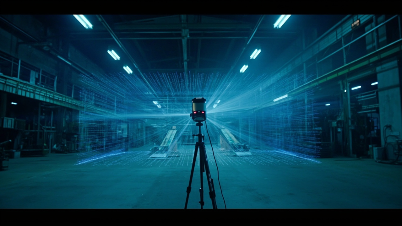
M360 has a 360° ultra-wide field of view
Compared to traditional mechanical LiDARs that cost tens of thousands of yuan, the M360 has a better cost-performance ratio, significantly reducing industrial application costs and helping more enterprises achieve digital transformation.
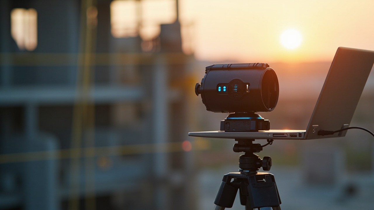
Industrial scanning system
Diverse Application Scenarios
"What You See Is What You Measure"
Currently, the application scenarios of this industrial scanning system have become diversified. Let's look at its actual applications in three fields: old street renovation, offshore power tower platform modeling, and cultural heritage protection.
1. Old Street Renovation Project:
LiDAR scanning of land parcels, obtaining centimeter-level point cloud models
A certain city has introduced urban renewal policies and needs to renovate old streets. The problem is that with urban development, there are significant differences between old drawings and actual buildings, roads, and other infrastructure. It is necessary to re-obtain the actual 3D model of the street area and create new drawings.
Traditional methods for obtaining drawings usually require using tape measures to measure dimensions. This method has low efficiency, large errors, and is prone to missing measurements. Once some data is missed, rework measurement is required, affecting work efficiency.
In the old street renovation project of this city, staff used an industrial scanning system to scan the renovation area through LiDAR, obtaining centimeter-level high-precision point cloud data.
The industrial scanning system is equipped with M360 3D LiDAR, which has a wide field of view and long range, bringing efficient operational experience. Previously, it took 3 people 7 days to collect data, and then 1 person 7 days to model; now it only takes 1 person 1 day to complete data collection and 1 day to complete modeling, significantly improving work efficiency while reducing manpower input.
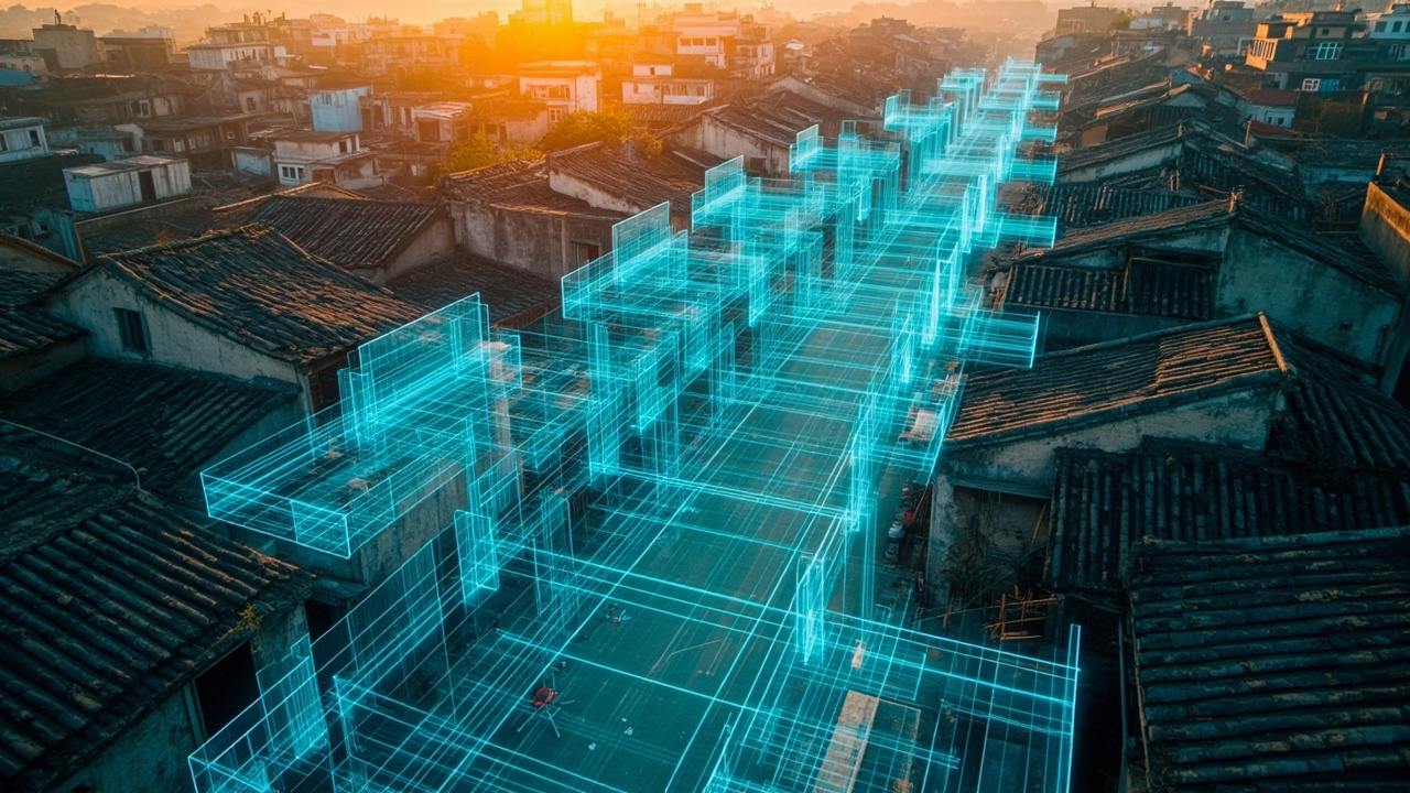
Point cloud map of an old street renovation project
Designing streets based on point cloud models (this is a design render)
2. Offshore Power Tower Platform Modeling:
Efficient and convenient, precise measurement
For surveying and mapping needs in special scenarios, industrial scanning systems with high precision and flexible portability play a key role. Recently, an offshore power tower platform near Nansha Bridge is planned to be demolished and rebuilt, requiring a high-precision model of the platform for the next step of construction.
The platform was built in 1979, and the original construction drawings were hand-drawn with low precision. Moreover, the platform has been eroded by seawater and washed by rain for a long time, and existing materials can no longer accurately describe its structure. In addition, under the special environment of offshore platforms, traditional measurement methods such as setting up total stations and prisms face significant difficulties and high costs.
Staff used the industrial scanning system to scan the actual 3D model of the platform, accurately obtained the coordinates of each key point, and successfully calculated the exact positions of each fixed pile center, which helped the smooth installation of the tower crane. Compared to setting up traditional total stations, using industrial scanning systems can save 80% of costs and improve efficiency by 2 times.
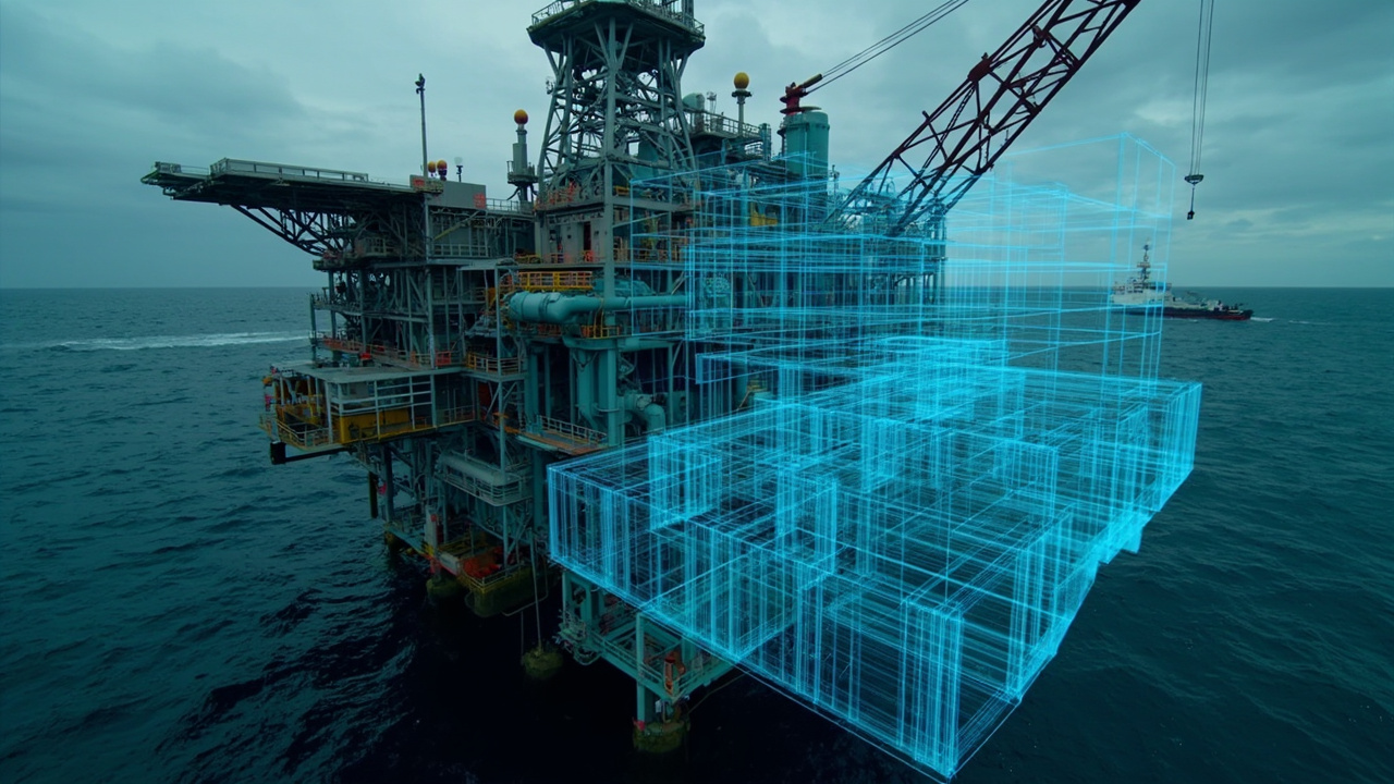
Determining fixed pile center corresponding to platform position through control points
Point cloud output effect
3. Cultural Heritage Protection:
Real-time fusion of point clouds and visible light, constructing 3D models of ancient buildings
The industrial scanning system integrates M360 LiDAR and visible light cameras, enabling real-time fusion of point cloud data and visible light data. After importing a large amount of true-color point cloud data into professional modeling software, 3D models of ancient buildings can be constructed.
In the Jiulongbi model reconstruction project, staff used the industrial scanning system to collect data and reconstructed a refined model with clear dragon scales. This model not only truly reflects the appearance and structure of the ancient building, facilitating researchers' observation and analysis from different angles and digital archiving, but the 3D building model is gradually used in game scene development, which not only shortens the development cycle but also brings users a more realistic immersive experience.
Jiulongbi point cloud model
Three-dimensional laser scanning provides a new technical means for 3D model reconstruction. As the core component of industrial scanning systems, the M360 LiDAR is not only compact but also has advantages such as ultra-wide FOV and dense point clouds, helping to efficiently obtain high-precision surveying and mapping results and create value for users.
Tantu Technology Co., Ltd. is an innovative enterprise specializing in 3D LiDAR technology development, committed to providing customers with high-performance sensing solutions.
Tantu was established in 2022, aiming to break through the current technical barriers in the LiDAR industry, reduce the threshold of mass production by producing high-quality, reliable and cost-effective LiDAR sensors, and enable this technology to be widely applied in various fields such as automotive, smart cities, surveying and mapping, and mobile robots, meeting different environmental needs.
Tantu's sensor technology and mirrorless non-repetitive scanning LiDAR technology have applied for multiple patents. Since launching the M360 product in 2023, the company has served more than 100 enterprises, with products sold to 15 countries and regions including the United States, Canada, China, Japan, and the European Union.