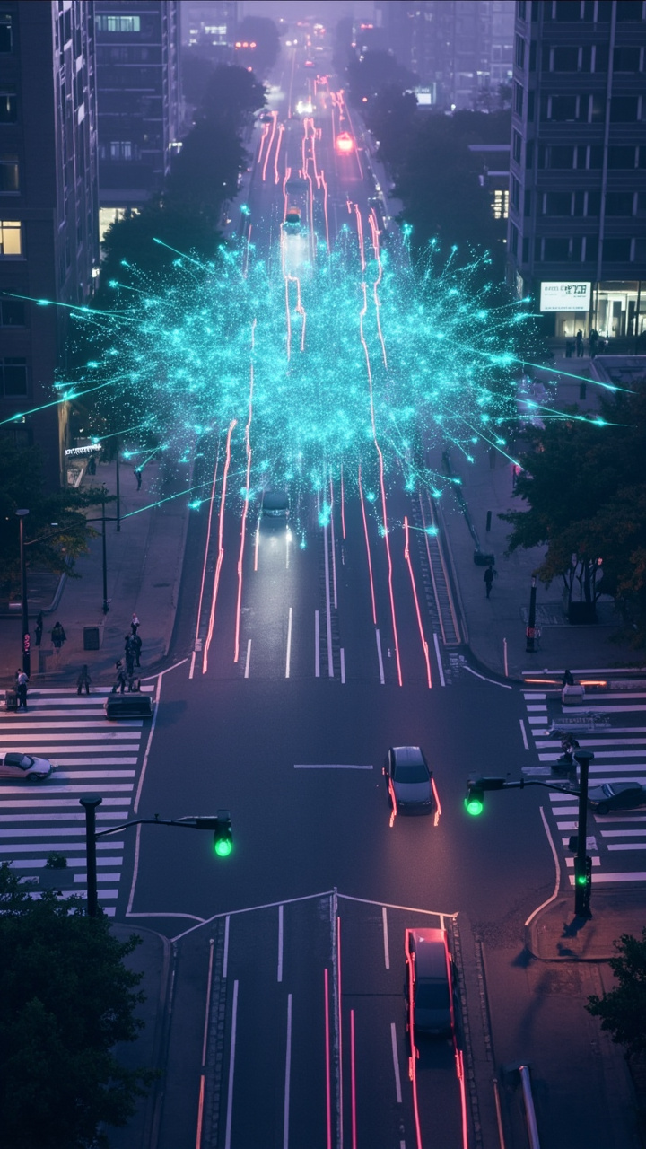
In March 2024, Seoul Robotics flipped on a LiDAR-based traffic management system at State Street and 5900 South in Murray, Utah — the first U.S. intersection controlled by LiDAR technology. Sensors on each corner feed a 3D perception engine that builds a real-time digital twin of the intersection. Vehicles, pedestrians, and cyclists all appear as classified objects in the point cloud, tracked continuously as they move through the intersection.
The system has been running since. No digging up roads (unlike inductive loop installation). No privacy controversies (unlike cameras). No degradation in rain, fog, or darkness (unlike video analytics). The smart traffic management market — $165 billion in 2025, projected to reach $500 billion by 2033 (FutureDataStats) — is the reason deployments like this are accelerating.
This article covers what LiDAR actually does at an intersection, how it compares to the technologies it's replacing, and what cities need to know before deploying.
The Problem with Current Traffic Detection
Most traffic signals in the world still rely on technology from the 1960s: inductive loops. A loop of wire buried in the road surface detects the metal mass of a vehicle passing over it. When a car stops on the loop, the signal controller knows someone's waiting and extends or triggers the green phase.
Inductive loops work, and they're accurate for their single purpose: detecting a vehicle in a specific lane at a specific point. But they have well-documented limitations:
- Installation is destructive: Cutting into asphalt, laying wire, and pouring patch material. Road closures required. Typically $2,000-5,000 per loop installation.
- Single-point detection: A loop tells you "a car is here." It doesn't tell you the car's speed, trajectory, or turning direction. It can't detect pedestrians, cyclists, or vehicles outside the loop's physical footprint.
- Maintenance burden: Loops fail. Temperature cycles, frost heave, and heavy traffic damage the wire. Cities spend significant budgets on loop repair — one estimate puts U.S. loop maintenance at over $200 million annually.
- No additional data: A loop gives you vehicle presence/absence. That's it. No speed counts, no classification, no pedestrian data, no near-miss detection.
Cameras and video analytics offer more capabilities — you can extract vehicle counts, speeds, and pedestrian presence from video feeds. But cameras struggle with occlusion (one vehicle blocking the view of another), varying lighting (glare at sunrise/sunset, shadows), and weather (heavy rain, fog). And they raise privacy concerns: recording faces and license plates at every intersection is increasingly difficult to justify under GDPR and similar regulations.
How LiDAR Traffic Detection Works
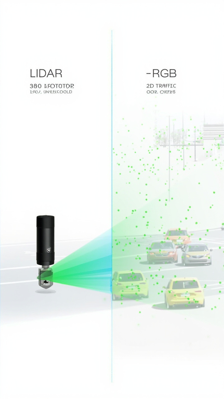
A LiDAR sensor mounted on a pole or traffic signal mast at an intersection scans the roadway at up to 200,000+ laser pulses per second. Each pulse returns a 3D point. The sensor builds a live point cloud of everything within range — vehicles, pedestrians, bicycles, and the road surface itself.
The perception software running on an edge device at the intersection processes this point cloud in real time:
- Object detection: Classify each cluster of points as vehicle, pedestrian, cyclist, or background. LiDAR can distinguish these based on 3D shape and size — a car is a large rectangular volume moving at road speed, a pedestrian is a smaller vertical silhouette moving at walking pace.
- Tracking: Assign each detected object a unique ID and follow it through the scene. As a car approaches, stops at the red, turns left, and exits the intersection, the system tracks its entire trajectory.
- Traffic metrics extraction: From the tracking data, compute the metrics that traffic engineers actually use — vehicle counts by lane, average speed, queue length, turning movement counts, pedestrian crossing volume, near-miss events (two trajectories that come close without collision).
The system feeds these metrics directly into the traffic signal controller, which adjusts phase timing in real time. Or it sends the data to a central traffic management center for corridor-level optimization.
The key technical advantage: LiDAR is an active sensor. It generates its own laser pulses and doesn't depend on ambient light. It works identically at noon, midnight, in rain, and in fog. A LiDAR sensor at a dark intersection during a rainstorm produces the same quality data as a LiDAR sensor on a sunny afternoon.
Outsight, a LiDAR perception company, reports that their LiDAR system achieved more than 99% detection accuracy using "virtual loops" — software-defined detection zones that replace physical inductive loops without any road work.
Five Things LiDAR Does That Loops and Cameras Can't
Track turning movements automatically
Inductive loops count vehicles passing a point. They don't tell you which direction those vehicles went. For traffic engineers, turning movement counts (how many cars turned left, went straight, turned right) are among the most important data points for signal timing and intersection design. With loops, you need manual counting or expensive camera-based systems.
LiDAR tracks each vehicle's trajectory through the entire intersection. The software classifies left turns, through movements, and right turns automatically, for every vehicle, in every lane, at all times. No manual counting, no camera calibration.
Detect near-miss events
A near-miss — a pedestrian crossing against the signal, a vehicle running a red light, a cyclist weaving through traffic — is a leading indicator of future collisions. But you can't prevent what you can't measure.
LiDAR's trajectory tracking identifies near-misses in real time by detecting when two object paths come within a threshold distance of each other at speed. Seoul Robotics' system in Utah uses this capability. Cities can map near-miss hotspots across their intersection network and prioritize safety improvements based on actual risk data, not just collision history.
Count pedestrians and cyclists
Inductive loops don't detect pedestrians or bicycles (no metal mass). Cameras can, but video-based pedestrian detection degrades in low light and adverse weather.
LiDAR detects all road users regardless of what they're made of. A pedestrian is a distinct 3D object in the point cloud — size, shape, speed, and trajectory all distinguishable from vehicles. This matters for signal timing (extending the pedestrian phase when someone's still crossing) and for planning (where to install crosswalks, how to time signals for cyclist safety).
Operate without privacy concerns
LiDAR captures anonymous spatial data. No faces, no license plates, no identifying features. This makes deployment in public spaces straightforward from a regulatory standpoint — no privacy impact assessments, no data retention policies for personally identifiable information, no public opposition.
For European cities subject to GDPR, this is a significant advantage. For U.S. cities facing increasing scrutiny of surveillance technology, LiDAR avoids the "Big Brother" criticism that camera-based systems attract.
Provide continuous 3D data for digital twins
The concept of a "digital twin" — a live 3D model of a physical space — is central to smart city planning. LiDAR is the sensor that builds it at intersection scale. The point cloud data can be streamed to a central platform where traffic engineers monitor multiple intersections simultaneously, run simulation scenarios, and test signal timing changes before implementing them in the field.
Seoul Robotics' Utah installation is a working example: LiDAR sensors at each corner create a real-time digital twin of the intersection, feeding data to optimize traffic flow and reduce congestion. In 2025, Econolite and Ouster expanded this model across Utah's state-wide traffic signal network using the Ouster BlueCity platform.
LiDAR vs. Cameras vs. Loops: When to Use What
Each technology has a role. The question is which problem you're solving.
| Factor | Inductive Loops | Camera / Video Analytics | LiDAR |
|---|---|---|---|
| Vehicle detection accuracy | High (single point) | Medium (degrades in weather) | Very high (99%+ virtual loops) |
| Pedestrian/cyclist detection | No | Medium (light-dependent) | Yes |
| Turning movement tracking | No | Partial (occlusion issues) | Yes (full trajectory) |
| Near-miss detection | No | Limited | Yes |
| Works in dark/rain/fog | Yes (metal detection) | No | Yes |
| Privacy concerns | None | High (faces, plates) | Low (anonymous 3D data) |
| Installation disruption | High (road cutting) | Low (pole mount) | Low (pole mount) |
| Per-intersection cost | $2,000-5,000 | $5,000-15,000 | $10,000-40,000 |
| Maintenance cost | High (road damage) | Medium (calibration, cleaning) | Low (IP67, solid-state options) |
| Data richness | Minimal (presence/absence) | High (but 2D) | Very high (3D + tracking) |
The pattern: LiDAR has the highest upfront cost but the lowest long-term cost of ownership. A single intersection deployment is a bigger pill to swallow. Across 50 or 500 intersections, LiDAR's lower maintenance and richer data change the economics.
V2X: LiDAR as Roadside Infrastructure
V2X (Vehicle-to-Everything) communication is the next layer. Connected vehicles will receive real-time data about intersection conditions — signal phase timing, pedestrian presence, queue lengths — from roadside infrastructure. LiDAR generates this data.
The U.S. DOT estimates V2X roadside unit costs at $3,000-5,000 per unit, with a large-scale deployment of 1,700 signalized intersections costing $25-45 million. These numbers are for communication infrastructure, not sensors. Adding LiDAR perception to V2X-equipped intersections means roadside units broadcast not just signal timing (which the vehicle could infer from the traffic light) but actual scene data — a pedestrian about to cross, a vehicle stopped in the intersection, a queue forming around the corner.
This is where LiDAR's value compounds. The sensor data serves both local traffic management (signal optimization) and V2X communication (broadcasting to vehicles). One sensor investment, two use cases.
Deployment Considerations
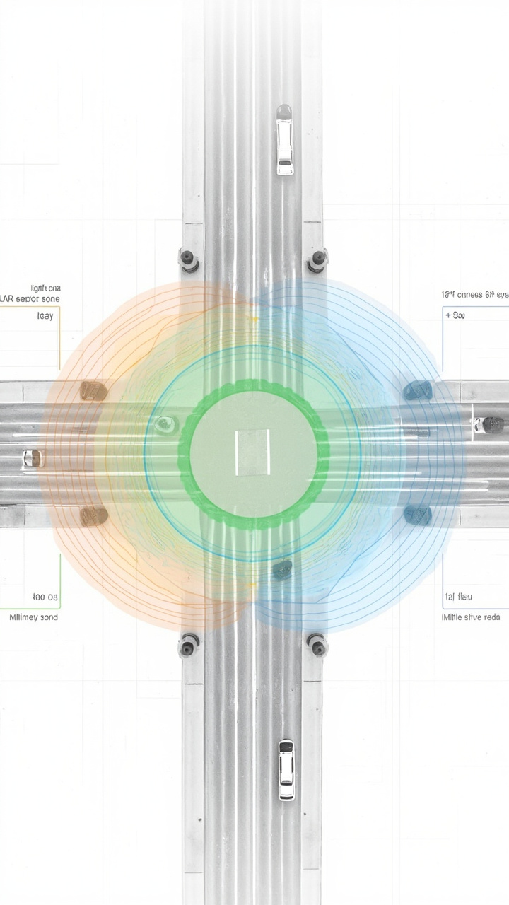
Sensor placement matters: LiDAR coverage at an intersection depends on mounting height and angle. Higher mounting (8-12 meters) gives wider coverage but coarser resolution. Lower mounting (3-5 meters) gives finer detail but narrower coverage. Most deployments use a combination — higher mounts for wide-area detection, lower mounts for detailed tracking at critical zones like crosswalks.
Processing at the edge: Sending raw point cloud data from every intersection to a central server is bandwidth-intensive. Modern systems process data locally on edge devices, sending only the extracted metrics (counts, speeds, trajectories) to the central platform. This reduces bandwidth requirements by orders of magnitude.
Sensor selection: For intersection-scale deployment, the specs that matter are detection range (need to cover the full intersection, typically 25-50m), angular resolution (determines how well the system can classify objects at range), point cloud rate (needs to be fast enough for real-time tracking — 200 kHz+), and durability (IP67 minimum, operating temperature range matching the local climate).
Sensors like the Livox M360 — 360°×70° FOV, 200 kHz point rate, IP67, <4.5W power, 408g weight — fit the intersection deployment profile well: wide coverage from a single unit, enough point density for real-time tracking, and minimal infrastructure requirements (small footprint, low power).
For a detailed specification comparison, see our M360 vs MID-360 comparison page.
Start with a pilot, not a city-wide rollout: Utah started with one intersection. Washington D.C.'s Sensagrate corridor started with a few blocks. Pilot deployments let you validate detection accuracy against ground truth (manual counts), test integration with your existing signal controllers, and build internal expertise before committing to larger deployments.
What LiDAR Still Can't Do at Intersections
- Identify vehicles or people: LiDAR classifies by shape (car, truck, pedestrian, bicycle) but can't read license plates or recognize faces. If you need identification for enforcement (red light cameras), you still need cameras — LiDAR triggers the camera, the camera captures the evidence.
- See through solid objects: A large truck occludes the space behind it in LiDAR just as it does in cameras. Multi-sensor installations (sensors on multiple corners) mitigate this but don't eliminate it entirely.
Bottom Line
LiDAR at intersections solves a specific problem: accurate, real-time detection of everything moving through the intersection — vehicles, pedestrians, cyclists — in all weather and lighting conditions, without privacy tradeoffs. It generates data that loops can't and cameras struggle with.
The economics favor LiDAR most strongly when you consider total cost of ownership — not just the sensor price, but installation (no road cutting), maintenance (no loop repair), and the value of the additional data (turning counts, near-miss detection, V2X feeds). For cities planning smart city infrastructure, LiDAR is increasingly the default choice for new intersection deployments.
Market data sourced from FutureDataStats (smart traffic management market, 2025-2033) and MarketsandMarkets (LiDAR market, 2025-2030). Deployment data from Seoul Robotics (Utah intersection, 2024), Econolite/Ouster (Utah statewide, 2025), and U.S. DOT (V2X costs, 2025). Product specifications for the Livox M360 are based on the official product manual Ver 1.4 (2026-02-27).
📖 Related Reading
-
M360 vs MID-360: Full Parameter Comparison
Side-by-side spec comparison of Livox M360 and MID-360.
-
Livox M360 3D LiDAR Product Page
Full specifications, datasheet, and ordering information.
-
LiDAR Bathymetry and Flood Monitoring: How It Works
How bathymetric LiDAR maps underwater terrain for flood modeling.
Need LiDAR for Smart Intersection Deployment?
The Livox M360 — 360°×70° FOV, 200 kHz, IP67, <4.5W — is built for roadside traffic applications.
View M360 Specs → Contact Us →🛒 M360 3D LiDAR: 5cm blind zone | 360°×70° FOV | IP67 | <4.5W | Dual echo optional
View full parameter comparison →
© 2026 SmartBotParts. All rights reserved.